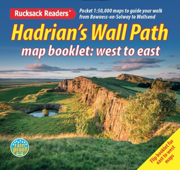
Hadrian’s Wall Path map booklet
25,13 €
25,13 €
Varastossa
Pe, 16 loka - ti, 20 loka
Kotiinkuljetus
Turvallinen maksaminen
14 päivää avoin osto
Myyjä ja toimittaja
Tuotteen kuvaus
Hadrian’s Wall Path is a superb National Trail that runs for 85 miles (137 km) beside the Roman wall between Bowness-on-Solway and Wallsend, near Newcastle. Experts can't agree whether it's better to walk it from west to east or vice versa, so this booklet uniquely does both: just flip it to reverse the direction with miles correctly numbered from 0 to 85. This map booklet helps you to enjoy this classic walk in either direction or in both: route rewalked and updated in late 2025route line more accurate than OS mapping and the official websitetwo booklets in one, west-to-east and east-to-westcustom, clear mapping at 1:50,000: no irrelevant clutterforts, milecastles and visitor centres shownincludes city centre plans for Carlisle and Newcastle upon Tynelightweight (50 grams) and small enough to slip in your pocketrobust, opens flat and printed on rainproof paper.
Tuotenro
d0004682-0d47-5f5b-a987-22e1e69de78e
Kirjan tiedot | |
|---|---|
Formaatti | Unknown |
Kieli | English |
Sivumäärä | 40 |
Julkaisupäivä | 2025-11-05 |
Kustantaja | Rucksack Readers |
Mitat | 129 × 124 × 5 mm |
Paino | 42 g |
ISBN | 9781913817350 |
Alkuperämaa | GB |
Hadrian’s Wall Path map booklet
25,13 €
25,13 €
Varastossa
Pe, 16 loka - ti, 20 loka
Kotiinkuljetus
Turvallinen maksaminen
14 päivää avoin osto
Myyjä ja toimittaja